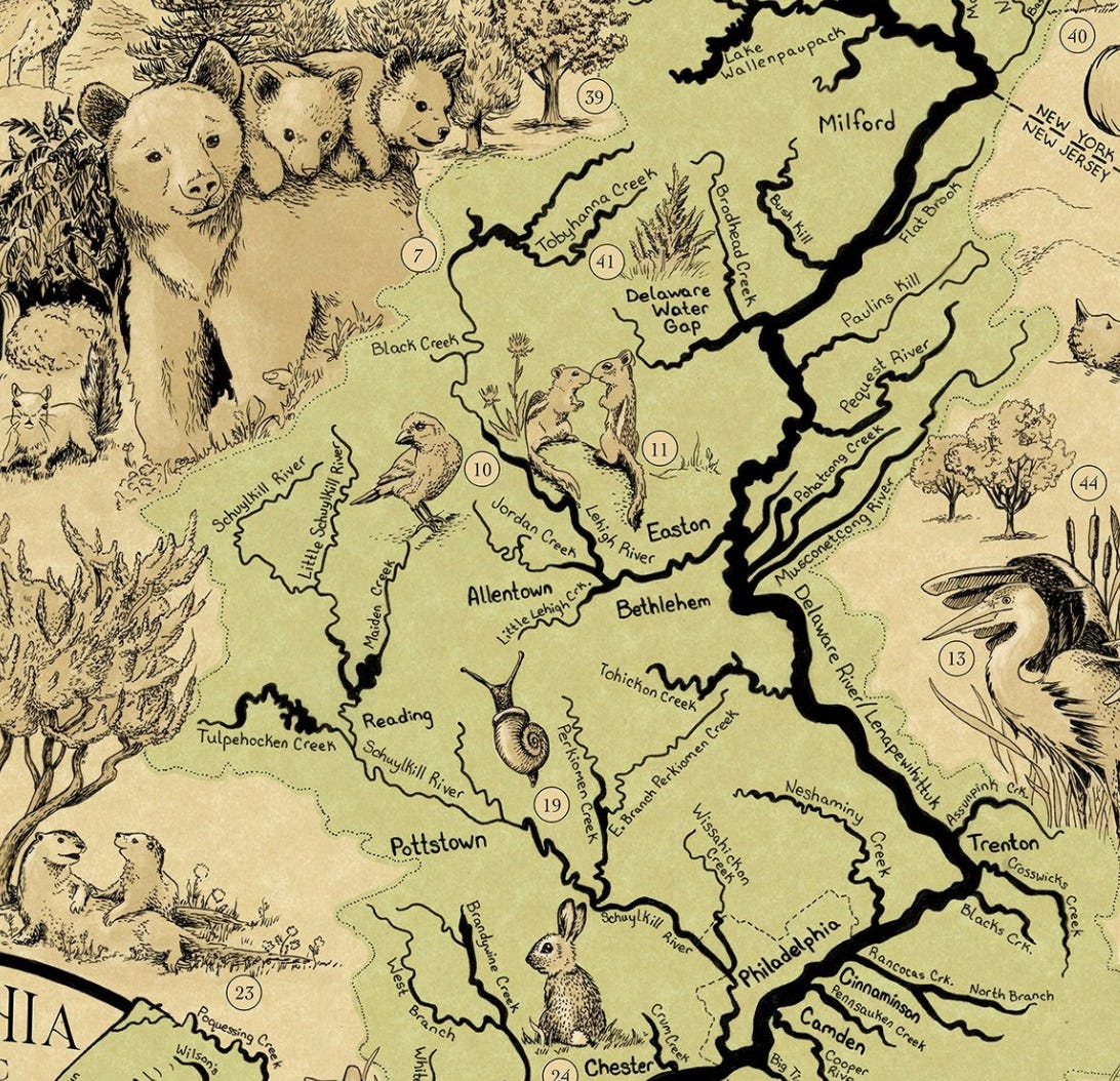
A more modern take on last week's Coaquannock map, Lenapehoking is a map of the Delaware Watershed's natural environment.
Lenapehoking means land of the Lenape people.
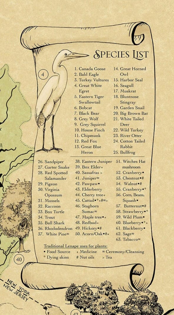
The map was created by Illustrator Meg Lemieur and is available on Etsy. The map is beautifully illustrated with various animals and includes a species list in the upper left corner. This includes Lenape uses for plants.
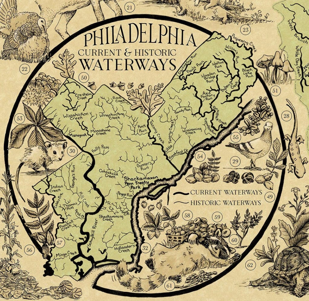
There is a map of the current and historic waterways of Philadelphia in the bottom right corner. There will be more on these historic waterways in a future "Philadelphia month" post.
Here are a couple of excerpts from the text at the bottom of the map for perspective
"The Delaware River, or Lenapewihittuk in the Lenape language is the lifeblood of the Mid-Atlantic, supplying drinking water and habitats for millions of humans, animals, and vegetation."
"The relationship that the Lenni-Lenape have with the land started over 10,000 years ago and will continue far into the future.


What a gorgeous map! Thank you for sharing it!
At 10,000 years, the Lenni-Lenape must be among the oldest human civilizations on the planet. Who knew?